
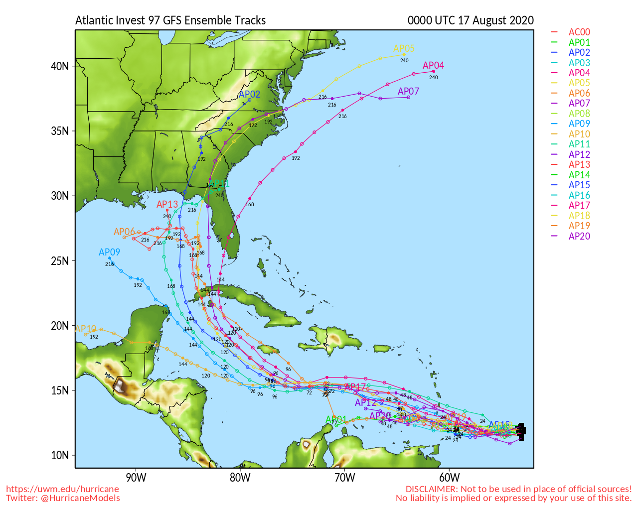
A growing disturbance in the Atlantic now has a 50% chance of becoming the 12th named storm of 2020 by the end of this week.
This morning, the National Hurricane Center sent out the following alert:
A fast-moving tropical wave located a couple of hundred miles
east of the Windward Islands continues to produce disorganized
shower and thunderstorm activity.  This disturbance is expected to
move westward at about 20 mph during the next few days. After that
time, the system is expected to move more slowly westward
across the western Caribbean Sea, where upper-level winds could
become more conducive for the development of a tropical depression
during the latter part of this week.

* Formation chance through 5 days...medium...50 percent.
If the system does develop into a named storm, it could sweep up the gulf of Mexico and pass directly over the Carolinas.
The Atlantic Coast hurricane season for 2020 runs from June 1st through November 30th.
NWS officials are reminding all residents in Atlantic Coast states to be prepared for this hurricane season.
In case of a power outage, make sure to have the following emergency items stocked in your home;
- Car charger for cell phones and other devices
- Clean drinking water (recommended 1 gallon per person per day, minimum three days)
- Flashlights
- Batteries: Extra batteries for all of your devices
- Weather radio/clock
- Non-perishable food
- First aid kit
We will continue to update this article as this storm develops.

