
 Climate researchers have recently detected a weather anomaly in the North Pole that could turn into a powerful ‘polar vortex’, potentially causing one of the harshest winters in years, The Washington Post reports.
A polar vortex occurs when there’s a disruption in the stratosphere that causes warming winds to decrease or change direction. The vortex then splits apart and dumps cold air into the middle atmosphere.
Judah Cohen with Atmospheric and Environmental Research released a series of reports which indicate a high probability of a vortex hitting us sometime between next week and early January.
“Confidence is growing in a significant PolarVortex disruption in the coming weeks. This could be the single most important determinant of the weather this winter across the Northern Hemisphere,” Cohen noted in his report.
Confidence is growing in a significant #PolarVortex disruption in the coming weeks. This could be the single most important determinant of the weather this #winter across the Northern Hemisphere. Likely impacts discussed in today’s blog: https://t.co/9ZWSlvqUI6 pic.twitter.com/WpA0RpWdbj
— Judah Cohen (@judah47) December 10, 2018
Cohen also points out that the GFS is predicting the chance of snow extending into the Deep South for the holidays;
A long shot but GFS says the chance of #snow extends even into the Deep South over the US during the holiday season. pic.twitter.com/ckWiGe0UVE
— Judah Cohen (@judah47) December 12, 2018
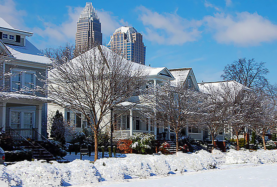
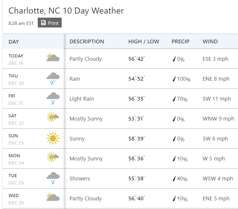
The Weather Channel is currently predicting a 40% chance of rain in Charlotte on Christmas Day, meaning that if the polar vortex does indeed spin off early next week, the temperature could plummet and that rain could turn into snow;
While the potential vortex does increase the chance of a white Christmas in Charlotte, the chance is still slim, especially given that the primarily American models and European models have different conclusions on when exactly the disruption might occur.
Amy Butler, a scientist with the NOAA, tweeted that even though all models aren’t on board, there’s still reason to be cautious;
All GEFS members now committing to a reversal of 60N 10mb winds #SSW between Dec 25-30 which is somewhat astonishing for a 9-14 day forecast. However not all other models on board yet so still reason to be cautious. pic.twitter.com/XrBCfggxJY
— Amy H Butler (@DrAHButler) December 16, 2018
Would you like to see snow in Charlotte next week?

