
The first tropical system of hurricane season has formed in the Gulf of America, and it could strengthen enough to bring heavy rain and potentially damaging winds to parts of the Carolinas later this week, according to official models.
Potential Tropical Cyclone One developed Tuesday and could become Tropical Storm Arthur by Wednesday. The National Weather Service is watching for the possibility that the system could continue strengthening after moving inland, increasing the risk of stronger wind gusts as it approaches South Carolina.
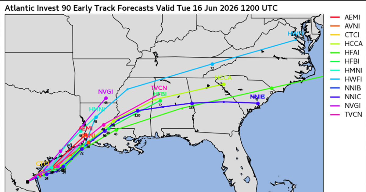
Low pressure near the western Gulf Coast is now designated Potential Tropical Cyclone 1. PTC 1 will merge into a stalled front across the SE US; tropical cyclone impacts unlikely for NC/SC/GA but heavy rain and severe storms possible Thu-Fri; winds gusty Thu. #ncwx #scwx #gawx pic.twitter.com/XouKh2g7hN
— NWS GSP (@NWSGSP) June 16, 2026
Tropical Storm Watches are already in effect for portions of Louisiana and Texas.
For the Charlotte region, rain is expected to arrive early Friday, with periods of heavy downpours possible throughout the day. Current forecasts suggest some locations could receive around an inch of rain.
The exact rainfall totals and wind impacts will depend on the storm’s track and how much it strengthens over the next several days.
Forecasters will continue monitoring the system closely as new forecast models become available throughout the week.
