
Over the past few days a new storm has been gaining strength in the Caribbean and is now projected to make landfall in Louisiana as a major hurricane on Sunday afternoon.
This morning at 8:00am, the National Hurricane Center released the following information about Tropical Storm Ida:
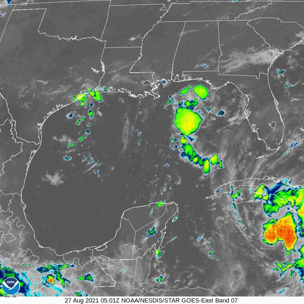
Data from Air Force Reserve and NOAA reconnaissance aircraft
indicate that the maximum sustained winds have increased to near 60
mph (95 km/h) with higher gusts, and additional steady to rapid
strengthening is expected during the next few days.  Ida is forecast
to become a hurricane over the southeastern Gulf of Mexico, and to
be at or near major hurricane strength when it approaches the
northern Gulf coast.

Tropical-storm-force winds extend outward up to 80 miles (130 km)
from the center.
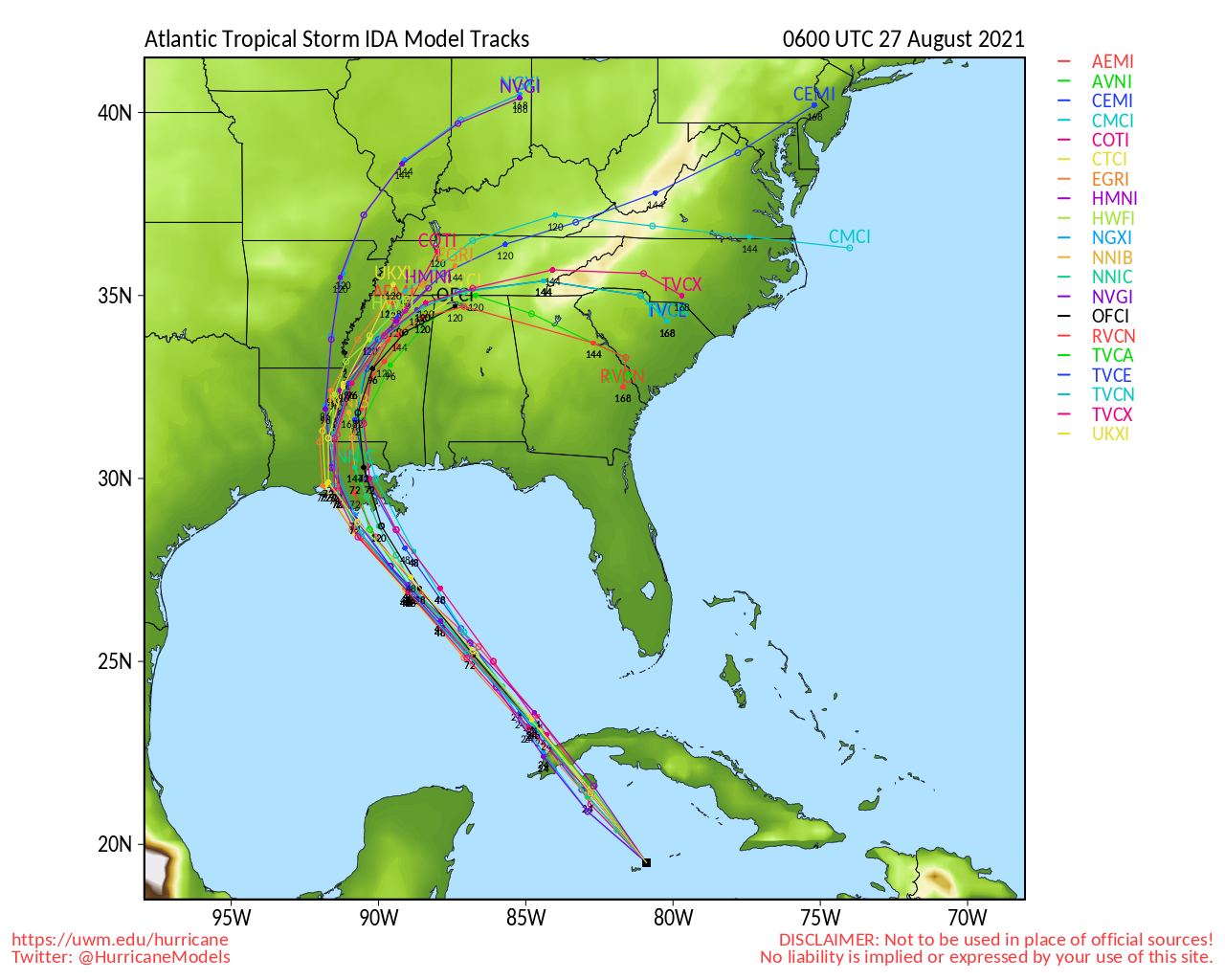
Once the Ida system makes landfall, it’s unclear which direction it will go.
2 of the projected paths show the storm moving across the North Carolina/South Carolina border as soon as Wednesday afternoon:
The Atlantic Coast hurricane season for 2021 runs from June 1st through November 30th.
NWS officials are reminding all residents in Atlantic Coast states to be prepared for this hurricane season.
In case of a power outage, make sure to have the following emergency items stocked in your home;
- Car charger for cell phones and other devices
- Clean drinking water (recommended 1 gallon per person per day, minimum three days)
- Flashlights
- Batteries: Extra batteries for all of your devices
- Weather radio/clock
- Non-perishable food
- First aid kit
We will continue to update this article as this storm develops.
