
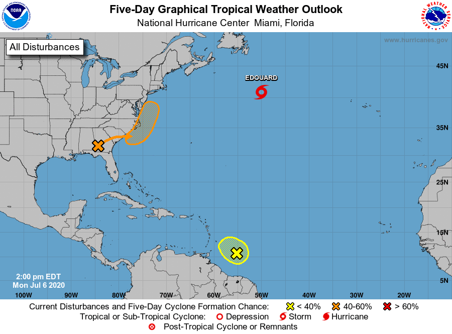
A new low pressure system building over Georgia and South Carolina could develop into the 5th named storm of 2020 (which would be the earliest 5th named storm on record).
If the system is able to whip up sustained winds over 39 mph, it would be officially named Tropical Storm Fay, the fifth name for 2020, after; Arthur, Bertha, Cristobal, Dolly, and Edouard.
The National Weather Service is currently giving the system a 40% chance of developing into a storm over the next 5 days.
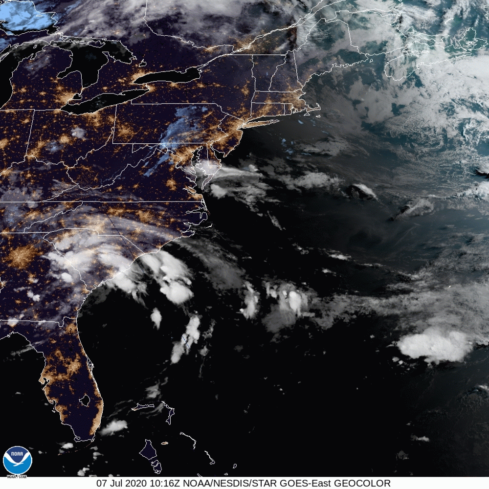
We are watching for potential tropical development along the Southeast Coast over the next couple of days. Day 1-3 QPF shows at least 1.00″ of rain for much of the area. Warmer sea surface temperatures along the Gulf Stream will allow for further development. #gawx #ncwx #scwx pic.twitter.com/bQRJ7Oxj4t
— NWS GSP (@NWSGSP) July 6, 2020
This morning the National Weather Service issued the following warning:
947 AM EDT Tue Jul 7 2020

.DAY ONE...Today and tonight.

Tropical moisture has spread across the region and will persist into
tonight. Areas of heavy rain may develop across the forecast area,
especially along and southeast of the Interstate 85 corridor,
leading to localized flash flooding.
Here is the current and future radar of the system:
