
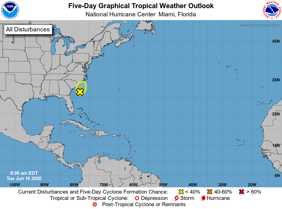
A growing low-pressure area off the coast of South Carolina is now producing heavy showers and thunderstorms for both North and South Carolina.
The National Hurricane currently says the system has a 10% chance of developing into Tropical Storm Dolly over the next 5 days.
This morning, the National Weather Service issued the following alert:
1. A non-tropical low pressure area located about 150 miles
south-southeast of the North Carolina-South Carolina border is
producing disorganized showers and thunderstorms over portions of
southeastern and eastern North Carolina, including the Outer Banks,
and adjacent Atlantic waters. The low is moving slowly toward the
north-northeast, and a gradual turn toward the north is forecast
later today.  Environmental conditions are expected to remain
unfavorable for significant development through tonight when the low
should move inland over eastern North Carolina.  Regardless of
development, heavy rainfall could occur over portions of
northeastern South Carolina and southeastern and eastern North
Carolina through Wednesday. For additional information, see products
from your local National Weather Service office.
You can see the system developing and attempting to form a spiral in this time-lapsed radar image:
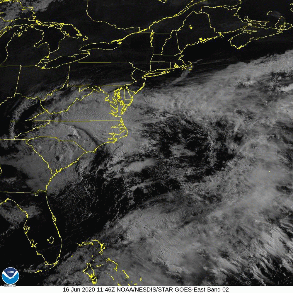
Regardless of whether or not the system develops into a named storm, it will be bringing heavy rainfall to most of the Carolinas today and tomorrow.
