
The United States Geological Survey has just confirmed a fourth and fifth earthquake in under two weeks near Charleston, signaling a clear uptick in Lowcountry seismic activity.
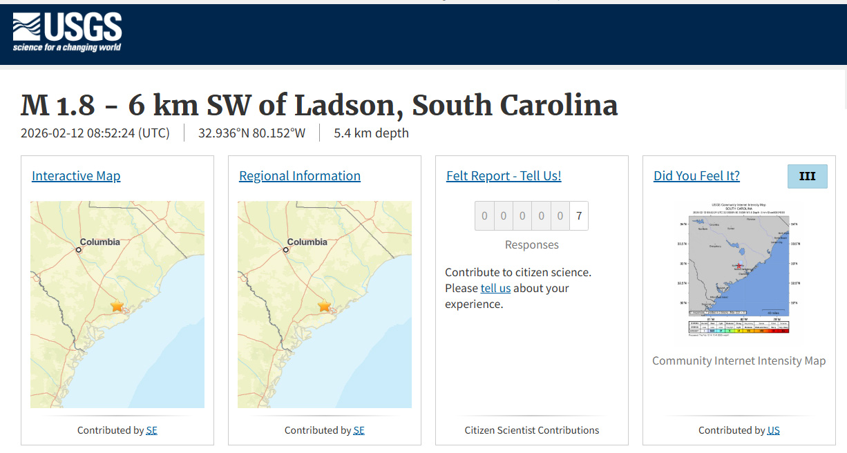
The most recent quake struck at 3:52 am this morning, measuring 1.8 magnitude. It was located about 6 kilometers south of Centerville at a depth of 5.0 kilometers.
Just hours earlier, at 9:00 pm last night, a 2.5 magnitude quake hit roughly 6 kilometers south-southeast of Centerville. That tremor was notably shallow, with a depth of just 0.7 kilometers.
Those two events add to three more recorded in the same area:
- Feb. 9: 1.6 magnitude
- Feb. 7: 2.9 magnitude
- Feb. 3: 2.3 magnitude
All five quakes occurred northwest of Charleston in the same concentrated zone. None caused widespread damage, but several were strong enough to be felt indoors, particularly during quiet nighttime hours.
The activity is centered within the Middleton Place–Summerville Seismic Zone, one of the most active fault regions in the eastern United States. South Carolina’s seismic hazard map highlights this area as a red “bullseye” of elevated earthquake risk.
Since 2000, at least 31 earthquakes have been documented in this zone. While tremors here are not uncommon, four quakes within seven days meet the definition of a seismic swarm. A swarm consists of clustered earthquakes without a single dominant mainshock.
These events are typically small and shallow. Most do not indicate that a larger quake is imminent. Still, the recent pace has residents increasingly alert.
South Carolina’s seismic history includes the catastrophic 1886 Charleston earthquake, one of the most powerful in eastern U.S. history. Although this recent cluster is far smaller, it reinforces that the Lowcountry remains one of the Southeast’s most seismically active areas.
USGS continues monitoring the region closely for additional activity.

