
Hurricane Helene made landfall at 11:11 pm last night 10 miles east of Perry, Florida, as a Category 4 storm with sustained winds of 140 mph.
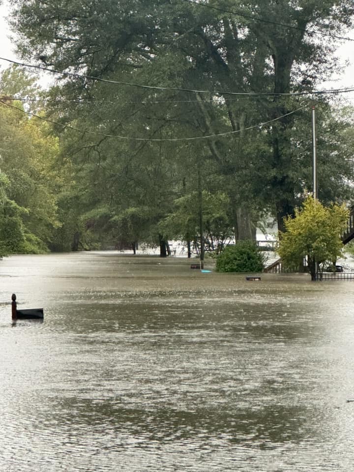
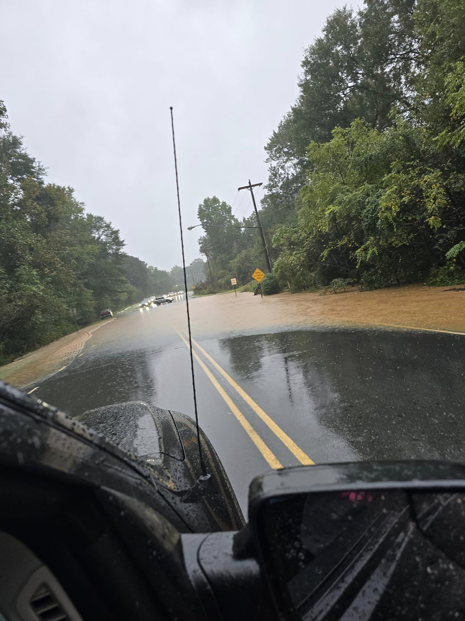
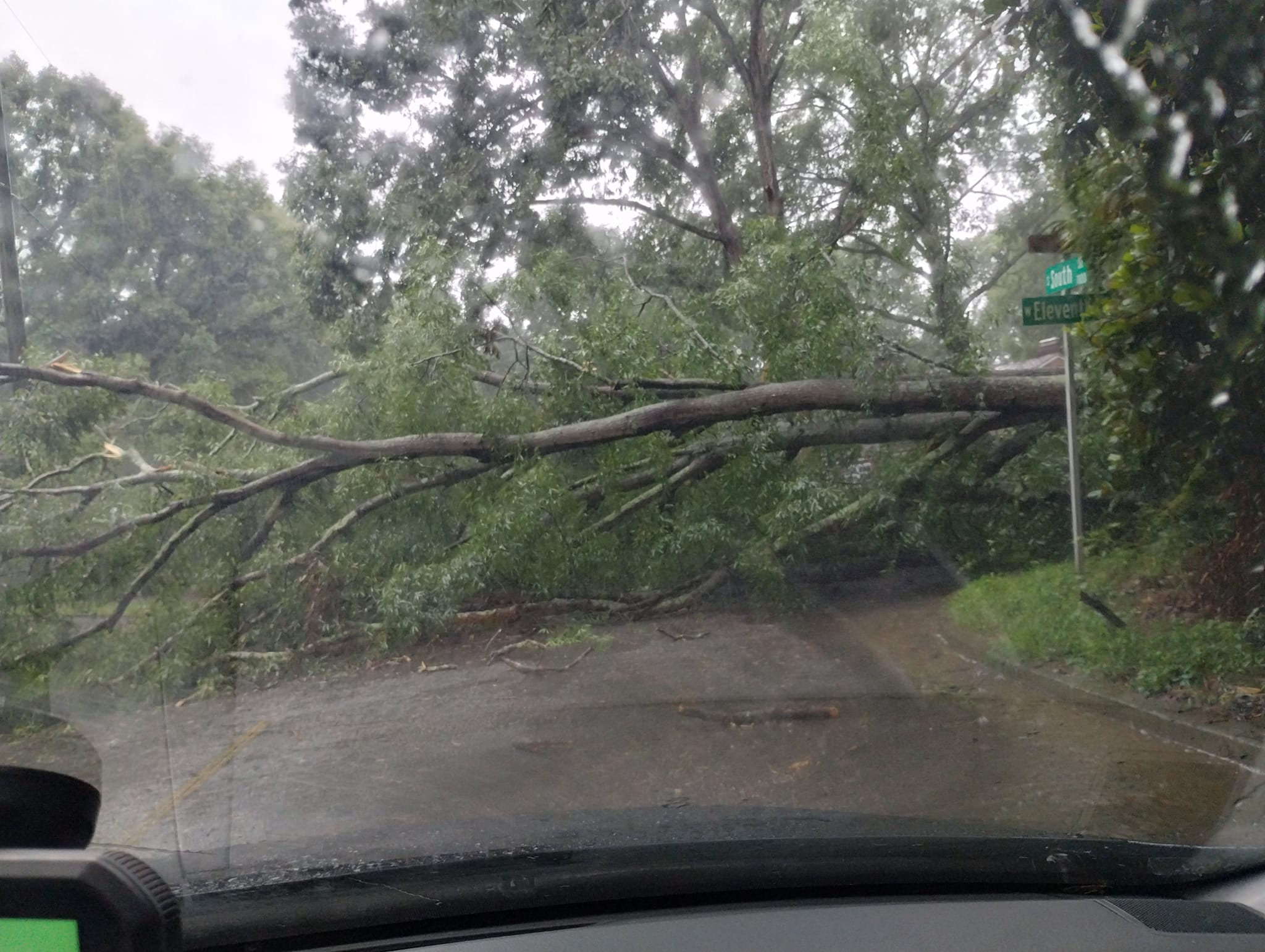
The storm has already dumped truly staggering amount of rain throughout the southeast and especially in the NC mountains. Helene continues to impact the Carolinas with heavy rain, dangerous winds, and severe flooding. A Tornado Watch is in effect through 6 p.m. for parts of the Charlotte area, a mandatory evacuations are underway for Mountain Island Lake residents as floodwaters rise, and about 100,000 people are without power across the Charlotte region, according to Duke Energy.
Here are just some of the shots taken around the Charlotte area this morning:
Hurricane Helene even flooded downtown Boone for the first time in recent memory:
Downtown Hendersonville is now seeing even worse flooding than Boone:
Please stay off the streets if you can today and please stay weather aware.

