
 A powerful coastal storm is starting to develop off the Carolina coast, bringing dangerous conditions to beaches and coastal towns.
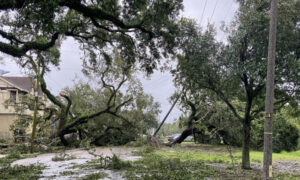
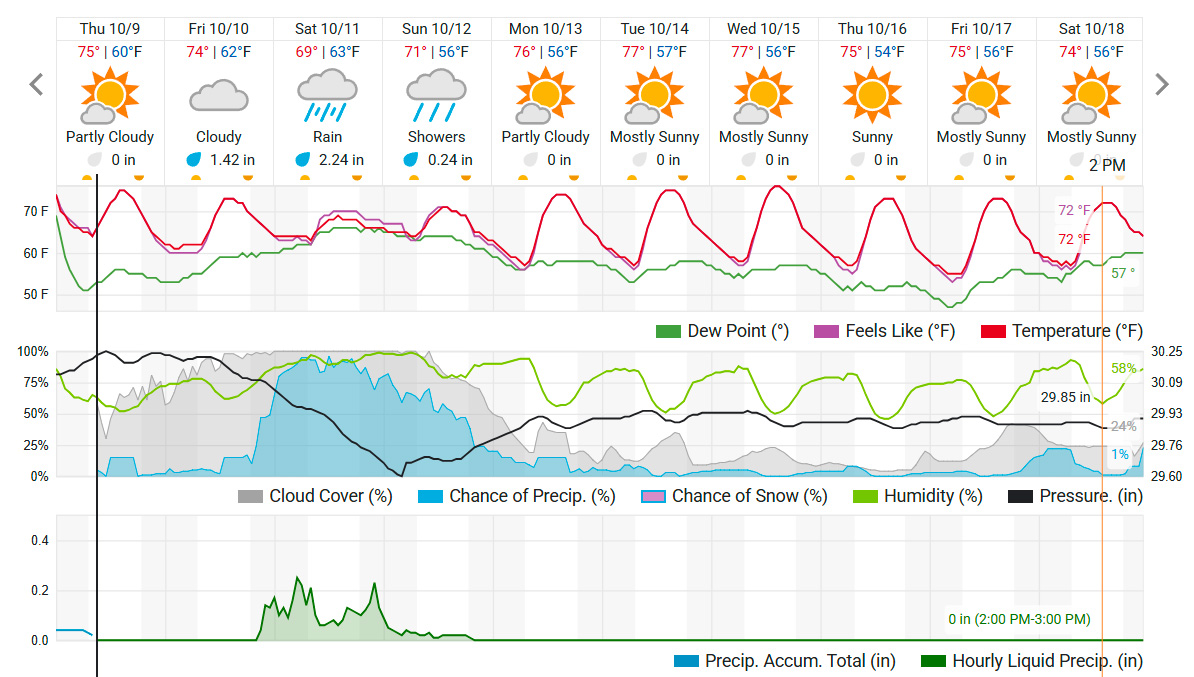
Although not a tropical system, the storm will produce tropical storm–like impacts. Forecasters expect strong winds, heavy rain, and dangerous surf from Charleston to the Outer Banks, with effects lingering through Monday.
Gusts could exceed 50 mph, and rainfall may total over 3 inches along the coast. Large waves and higher tides could cause moderate coastal flooding and beach erosion, particularly along Charleston, Myrtle Beach, and Wilmington.
While the storm’s core impact stays near the coast, inland areas may still see scattered showers and gusty winds. The rain may be welcome in drought-stricken regions of the Carolinas.
Key timing includes:
- Today-Friday: Low pressure forms offshore, coastal flooding in the lowcountry
- Saturday: Storm strengthens, bringing peak winds and rain
- Sunday-Monday: System gradually exits, but strong winds and rip currents remain a threat
Residents and visitors are urged to prepare for flooding during high tide, monitor local alerts, and avoid entering the ocean during hazardous conditions.
In Charleston and much of the lowcountry, flooding and rain could start as early as today.
As a strong gradient wind develops, hazardous seas are possible starting Thursday afternoon continuing through early Sunday morning. Northeast winds of 25 to 30 knots with gusts up to 35 knots are possible, with seas of 6 feet along the coast up to 13 feet in the outer waters. pic.twitter.com/5y5lZDikKV
— NWS Charleston, SC (@NWSCharlestonSC) October 8, 2025
As we are still in hurricane season, officials are also recommending that all North Carolina residents prepare for possible power outages from storm.
The following emergency items are suggested for all homes in our our state;
- Car charger for cell phones and other devices
- Clean drinking water (recommended 1 gallon per person per day, minimum three days)
- Flashlights
- Batteries: Extra batteries for all of your devices
- Weather radio/clock
- Non-perishable food
- First aid kit
